
Good morning all!
Francine officially became a Category 1 last night. There is a chance for her to become a Cat 2 before she makes landfall this evening.
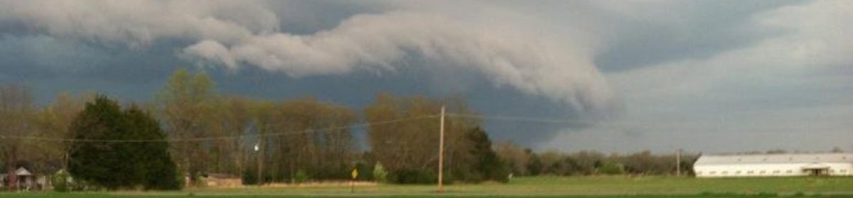
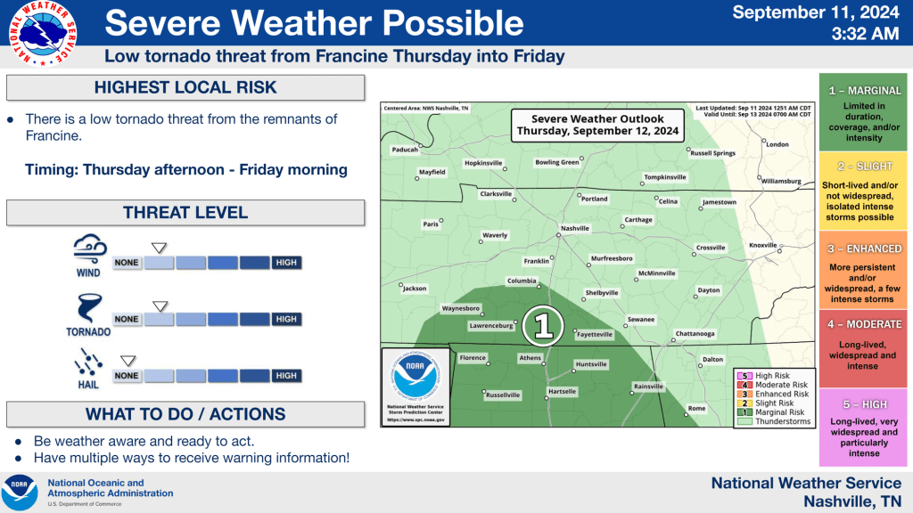
The NWS in Nashville put this out overnight. Francine is still on track to come into the state starting tomorrow. The outer bands and remnants will start to impact us tomorrow through the weekend.
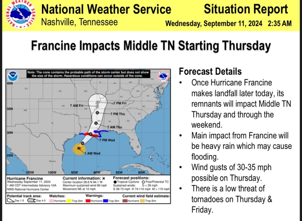
We are possibly expecting some severe weather as these bands move through the area. We do have a low threat for tornadoes but the highest threat right now will be flooding. Especially in low lying areas and flood prone areas.
We’re expecting about 3-4inches of much needed rain making its way with this system moving in.

We can also expect some wind gusts tomorrow as Francine moves into the area.

